Understanding Tides and the Factors That Influence Them Will Make You a Sharp Saltwater Angler and Unquestionably Improve Your Success
Tides are the pulse of the sea. Their infinite cycle generates oscillating currents and fluctuating water levels that have shaped the appearance, behavior, and life cycle of virtually every marine life form, including the game fish and prey species that are important to our sport. Minus tides, marine species the world over would likely appear and behave entirely different—even if they existed at all. Understanding tides and the ability to predict them are skills fundamental to saltwater fishing. Thoughtful anglers who use knowledge of the tides to formulate their angling strategies have a better chance to be in the right place at the right time.
Tides are produced and regulated by astronomical and geophysical effects, which often make tidal phenomena seem mysterious. But in fact, tides are well understood. The gravitational effects of the moon and sun acting upon the oceans of our spinning earth drive the tides, and the sizes and shapes of continents and oceans in conjunction with regional shoreline geography (the configuration of sounds, large bays, archipelagos, etc.), define tidal behavior throughout the globe. Amplitudes and cycle periodicities may vary considerably between oceans, hemispheres and throughout differing latitudes; regionally, however, they are consistent.
A discussion of the many factors that influence tide behavior would require far more space than a short article allows—and would be much more than anglers need to know. The good news is that you can easily familiarize yourself with some tide basics, and that just a little bit of applied knowledge will make your time on the water more rewarding.
The Mechanics of Tides
Three concepts are key to understanding tides. First, tides are created by the gravitational attraction of the moon and sun acting upon the liquid oceans of a spinning earth. These gravitational forces combine to slightly stretch the oceans away from the earth’s core forming geophysical “waves” (or fluid bulges) that propagate across our planet—quite similar to a hula-hoop rolling around one’s torso. Second, tides follow a repetitious monthly cycle that mimics the periodic 29.5-day lunar cycle, or the lunar orbit of the moon about the earth. And third,the strength and amplitude of prevailing tides varies in accordance with astronomical positions of the sun and moon relative to earth throughout the 29.5-day lunar month.
When the moon, earth, and sun align, either with the earth between the moon and sun (the full-moon phase), or with the moon situated between the earth and sun (the new-moon phase), this is called a spring tide. The gravitational forces associated with a spring tide become additive, producing a strong pull upon the oceans that yields inherently larger tides—greater water level fluctuations and stronger currents—than when the forces aren’t aligned. Spring tides occur twice each month within a few days subsequent to the associated moon phases.
During quarter-moon periods, the sun, earth, and moon are positioned in a 90-degree configuration(with the earth at the apex), and the gravitational pulls of the moon and sun are offset by 90-degrees. Such a configuration does not allow the moon and sun to act in concert upon the earth. This creates a neap tide, and the fluid bulges that form during a neap tide are correspondingly smaller, producing weaker tides with less amplitude than during a spring tide. Neap tides occur twice each month.
These astronomically-generated geophysical waves are our tides, and they manifest themselves in two basic daily tide cycles: diurnal and semidiurnal. Diurnal tides run in an approximate 24-hour cycle, with one high and one low tide per day. Semi-diurnal tides run in a roughly 12-hour cycle, with two high and two low tides per day. The US Atlantic coast and the Bahamas experience semi-diurnal tides, but the Gulf of Mexico has primarily a diurnal cycle. The Pacific coasts of the US and Central America experience mixed tides—a combination of diurnal and semi-diurnal tides.
In general, tidal range becomes greater nearer the poles and lesser towards the equator. The range is the fluctuation or difference in water level between low and high tide. In North America, one can expect greater tides the farther north you fish—north of Cape Cod and throughout the Gulf of Maine, for example—where tide ranges of 10 feet or more are typical. Conversely, expect weaker tides in southern regions—south Florida, Gulf of Mexico, etc.—where ranges of two feet or less often prevail.
Tides also follow a daily cycle that is associated with the earth’s 24-hour rotation on its axis, which recurs at the same pace regardless of moon phase. Day-to-day tide schedules, however,are not exactly repetitious—there’s about a one-hour advance, approximately 50 minutes, in the timing from one day to the next. The reason? The lunar day—which is the time it takes for the moon to reappear over an exact earth longitude from the previous day—takes 50 minutes longer than our 24-hour solar day (the time it takes for the sun to reappear over an exact earth longitude). This is due to the moon circling the earth over its 29.5 day orbit . . . it simply takes an extra 50 minutes each day for the earth to catch up with the advancing lunar orbit. Obviously, the tides must follow and they, too, recur approximately 50 minutes later on each successive day.
Tide Predictions, Estimates and Weather Effects
Numerically-based tide predictions, a fancy name for tide charts, are available online and in print at tackle shops, ship’s chandlers, and other marine-related retailers. These projections are compiled for specific periods of time and for specific geographic locations where predicted times for high tide and sometimes low are provided by calendar day. Most predictions conveniently include corresponding moon phases, many indicate resultant water levels at high and low tide, and some offer maximum current velocity at peak tide flow.
Despite their convenience and general accuracy, these predictions are frequently off by as much as 45 minutes due to prevailing weather conditions, or due to crude or inaccurate time corrections for locations not specifically cited in the chart (this is the case more often than not). Anglers, however, rarely need precise tide data to meet their objectives. Most often, its sufficient knowingroughlywhen high or low tide will prevailfor a given location. Bear in mind, slack-tide periods (when there’s no tidal flow) at high- and low-tides endure for about 30 minutes during the tide change, but simply knowing that the tide will be outgoing or incoming through sunrise or sunset is often enough information to make a sensible choice as to where to fish. Flats fishers are often only concerned with approximately when high or low tide will occur on their flat of interest—a morning low (implying a mid-day incoming tide) or a morning high (implying a mid-day outgoing tide) is usually enough information to decide when, where, or if to fish at all.
Though astronomy is entirely predictable, a fact that makes tide charts, clocks, and other predictive tools possible, nothing in our earthly world is that simple or absolute. It’s important to know that meteorological activity often has significant influence on prevailing tides. Events such as strong weather fronts and cyclonic storms (hurricanes, typhoons, etc.) will amplify tidal fluctuations and accelerate or delay their schedules. A strong onshore breeze that persists for days, for example, may advance the arrival of incoming tides by as much as an hour ahead of scheduled predictions. And the opposite may prevail with a persistent offshore breeze, or one that blows in harmony with the ebb tide.
Water levels, too, are impacted by weather events—strong winds that act in concert with either an incoming or outgoing tide often produce higher or lower tides than normal or what was predicted by the tide chart. Cyclonic storms generally raise water levels, sometimes for days, particularly as they advance into a region and throughout their duration.Numerical tide predictions must always be viewed as baseline projections, as if the tide occurred in a vacuum, upon which ongoing regional and local weather events should also be considered to arrive at actual tide performance.
Basing a Fishing Strategy around the Tides
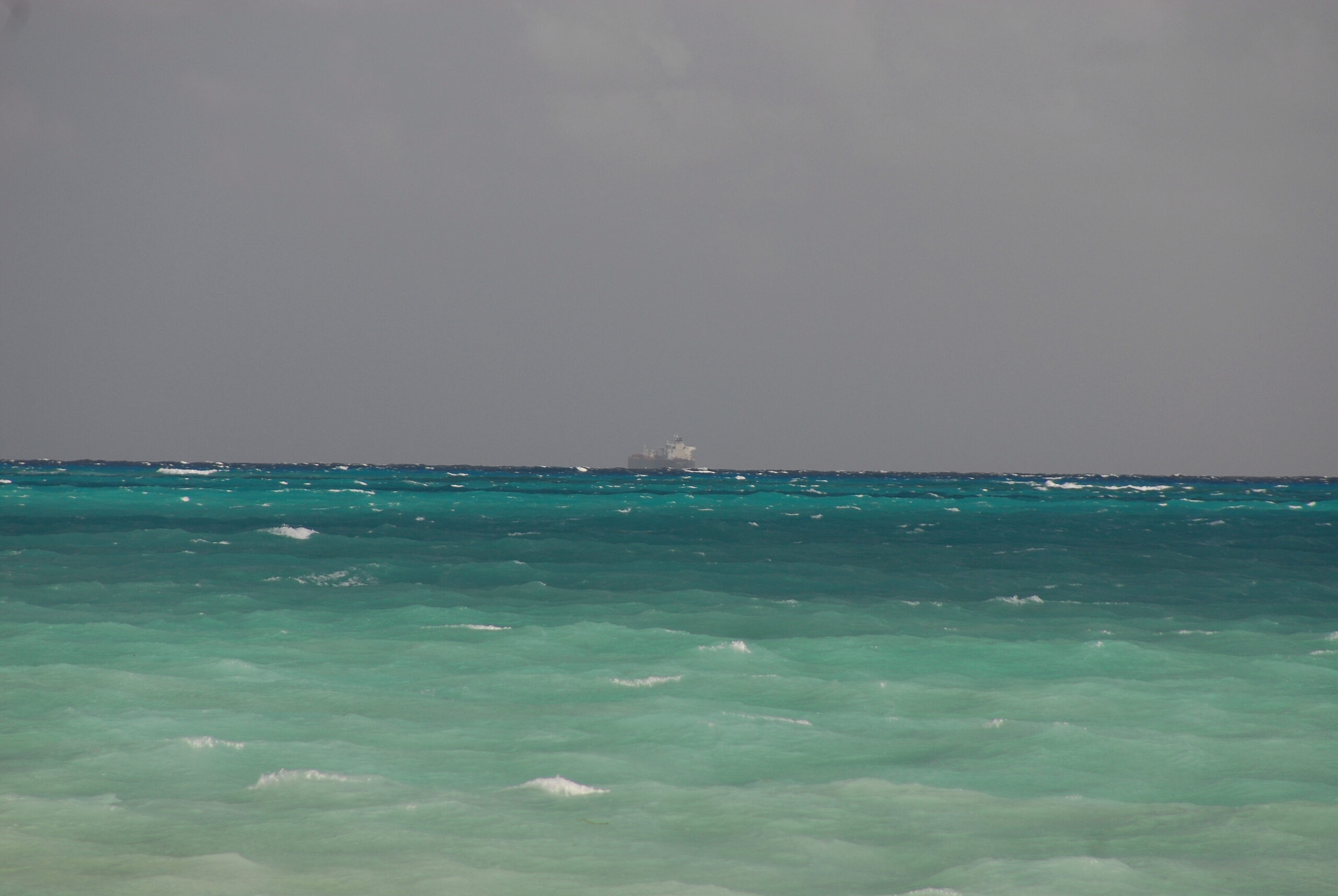
Tides are important in all marine environments, however, their impact is more pronounced on shallow inshore habitats than say the Mariana Trench. In addition to creating current, tides flush shallow near-shore environments with fluctuating water levels that cleanse these waters and regulate water temperature—two factors that strongly influence prey, game fish, and fishing. The flats associated with bonefish, tarpon, striped bass, redfish, and other popular game fish are examples of near-shore fisheries completely governed by tides. In deeper waters away from the shoreline, moving tides form inshore rips over ledges, shoals, and reefs, creating prime opportunities for predation throughout the water column and ideal angling. While in open-water offshore environments, tidal currents (in conjunction with the wind) generate surface weed-lines and rip-lines—key surface features that attract and hold pelagic bait and game, including dorado, sailfish, marlin, and other bluewater species.
Tides affect fishing in three ways: creation of current, and velocity and direction are both important; fluctuating water levels that increase on a rising or flood tide and decreasing on a falling or ebb tide; and controlling water temperatures. Game fish utilize moving water to their feeding advantage, either holding below stiff currents and allowing prey to be swept to them overhead or advancing into moderate currents tracking the scent of food to its source, as is often the case when roaming the flats in search of prey.
In aggressive tide rips, game fish such as false albacore and bonito actively traverse the turbulent upper water column to attack bait pods being swept in surface waters. Stripers and blues often hold deep in these rips, capturing prey as it comes to them. You should choose your fly-line densities based on where you want to present the fly effectively in these various conditions: floating lines for fish that are blasting bait on top, high-density sinking lines (450 to 650 grains) for action that’s 10 to 15 feet down in fast-moving water.
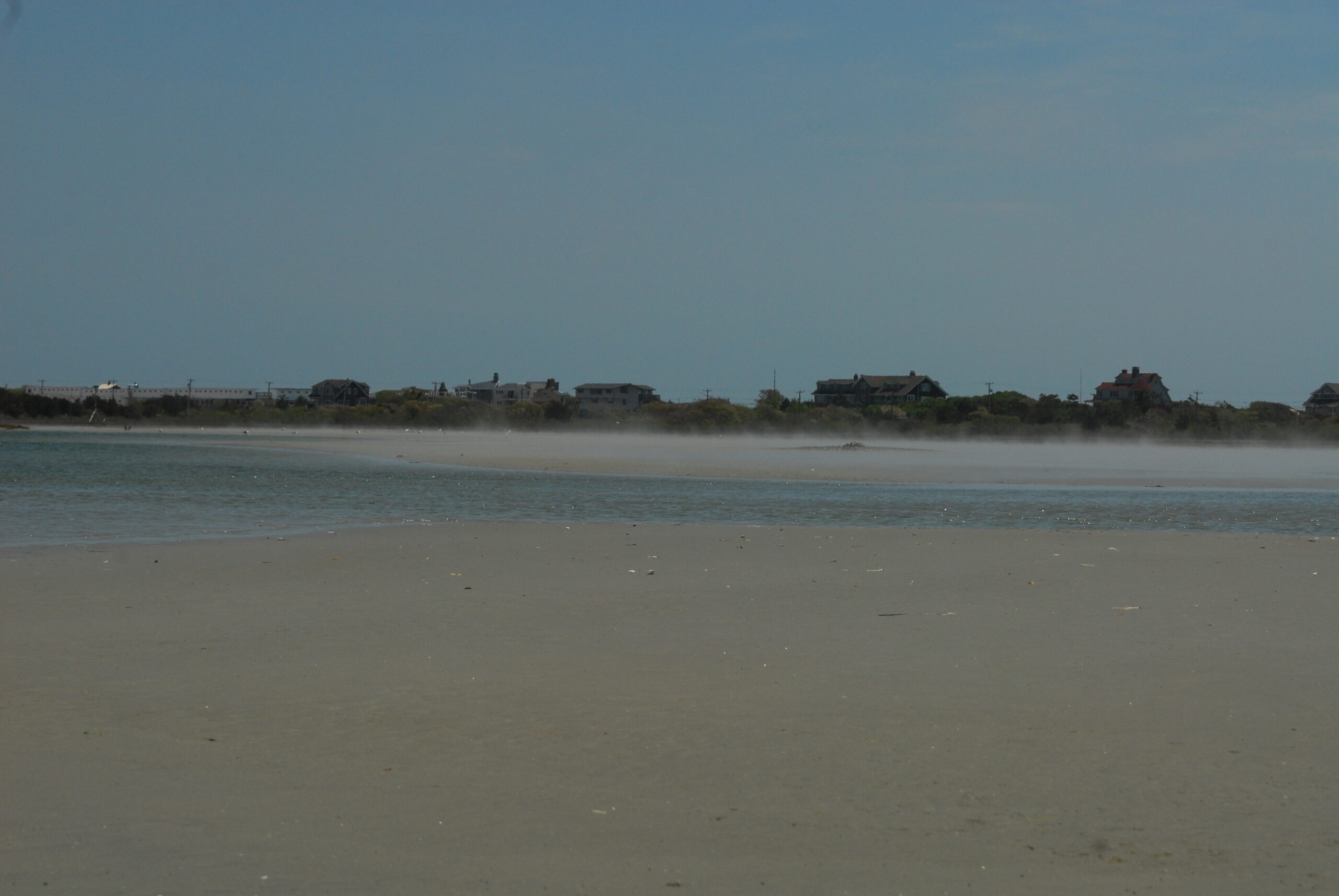
Fish prefer feeding zones based on tidal movement and often relocate during slack tide to feeding areas better suited for the impending tide. The calm of slack opens unique windows of opportunity for anglers to get their fly deep enough to have a shot at fish that re transiting low to fresh-feeding stations. Inlets, channels, jetties, and other deep structure are likely spots to ambush these fish during quiescent slack periods. Along ocean beaches, water level is critical for bringing “beach holes” (scoured trenches along the shoreline) to life – as rip-tides. These holes are often dry and out of the surf zone at low tide, but once covered with waves and wash with incoming water, they ignite rip-tides, dynamic shoreline features that are highly productive surf-fishing structure.
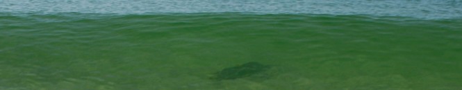
Of all forms of fly fishing the ocean, flats fishing is perhaps the most dependent on tides. Entire flats may be bone dry for one quarter of the day, too deep to wade for another quarter, and just right the other 12 hours, half of which may occur at night! It’s not always this complicated, but it can be, so making correct use of daily tides is critical. When embarking at low-tide, it’s wise to position yourself at the outer fringes of the flat where fish generally first appear with the incoming tide. Prime fishing gradually progresses shoreward with deepening water as the fish move further in to feed in areas unavailable at low tide; to remain in the action, anglers should gradually reposition inward, too. Most game fish focus on specific areas of a flat during mid-tide periods, it may be a grass bed, right along the shoreline, a sandbar . . . wherever prey is concentrated. While others, often the big ones, may lag behind and never stray too far from the flat’s edge, regardless of water levels. Observant anglers note where the fish appear to be going, or are reappearing often, and focus their efforts on these prey-rich areas, as well. When the tide turns to outgoing, expect the fish to respond right away – the change affects flow over the flat (not always reversing it, but it will impact its speed and direction) as water levels start to recede. Fish immediately resume moving about the flat while gradually progressing outward with thinning waters. Anglers should adjust their position accordingly while taking maximum advantage of sun position for optimal viewing . . . early and late-day tide changes that redirect the flow of water (and fish) may force you to now look into – or out of – a low sun’s blinding glare. This can simplify spotting with easy down-sun viewing (but remain mindful of your very long shadow during these hours), or bring the fishing to a grinding halt when fish approach solely from the direction of the sun.
Furthermore, shallow near-shore areas warm and cool much more readily than deeper waters. Temperatures are controlled by solar radiation, wind, overnight cooling, and tides. Both prey and game have preferred thermal comfort zones. For example, stripers prefer 50 to 70°F, bonefish 70 to 90°F, tarpon 75 to 95°F, and so on. When the flats are too cool for good fishing, an incoming tide that brings warmer water from the adjacent ocean can light things up. Such is often the case with winter bonefishing, especially in the morning. Flats that have become too warm may be soothed by the influx of cool ocean water brought with a fresh incoming tide, and this is common on the striper flats during the heat of summer, and with afternoon bonefishing in isolated, tepid shoreline waters in the Keys and the Yucatan.
Five Key Things to Keep in Mind about Tides
1 – Know the approximate tide schedule for your planned time on the water: knowing the times of high and/or low tide are key, as game fish often cease feeding and relocate to new feeding stations during slack periods. Remaining patient and not being fooled by these temporary lulls may keep you positioned for impending action. When a “hot bite” subsides at slack, but does not resume after the tide change, it may be wise to relocate to an alternate spot for the impending tide.
2 – Based on observations made at low tide, be aware of the bottom structure for the area you plan to fish: careful inspection of the water at low tide reveals bars, rock formations, subtle troughs and other subsurface structure important to fish as they feed. Knowing the bottom’s contour (and features) enables you to utilize it throughout the incoming tide, despite being occluded by higher water levels.
3 – Be vigilant of expected water levels at high or low tide for the area you plan to fish: while wading, it’s very important to know how high the water will rise during the incoming tide. Always be mindful that what was wadable on the way out may become impassable later on during an incoming tide. The opposite is true when skiff-fishing; an outgoing tide can strand bold fishermen who ventured too far or too shallow for hours as they await the next incoming tide provide enough water to float their vessel for a safe departure.
4 – Be aware of the expected tide magnitude – either spring tides or neap tides, based on moon phase: in many fishing spots, the water simply runs too hard during the full and new moon phases to produce good or manageable fishing. Narrow inlets, shallow treacherous reefs and others that “amplify” water velocities too much for prey activity – or fly fishing – during spring tides often fish best during the weaker flow periods at the onset of the tide, or as the end of the tide approaches. Conversely, very shallow or isolated areas may become alive twice a month during extreme spring tides that produce higher than normal water levels and moderated temperatures that do not prevail during neap tide moon phases.
5 – Be aware that there is as much as a two-hour delay in the tide schedule between interior waters inside coastal rivers, bays and estuaries and that of the adjacent ocean just outside barrier islands, beaches or break-walls: Knowing such schedule “offsets” allows anglers to capitalize on tide change activity for hours simply by relocating within relatively small areas that abut interior waters and the open sea. In many instances, merely crossing over a barrier beach or sand dune provides simple access to “new water” with an entirely different tide scenario and renewed action.